
Boundary Survey Questions Homeowners Face as Neighborhoods Continue to Grow
Most homeowners don’t think about their property lines much. When a street stays the same for years, there’s no real reason to. But when new houses go up nearby, lots get split, or infill construction starts filling in gaps around older homes, those long-held assumptions start to feel less solid. A boundary survey becomes worth thinking about, even for owners who’ve lived on the same lot for decades and never questioned where their property ended.
Why Longtime Assumptions About Property Lines Can Change as Neighborhoods Become More Developed
Older neighborhoods change in ways that aren’t always obvious right away. A lot split a few blocks away doesn’t feel like a big deal until someone starts building close to a line you thought was farther out. Old fences, shared driveways, and trees planted years ago worked fine as informal markers when nothing around them was shifting. Once building picks up nearby, those markers stop feeling like enough.
Lines that nobody questioned for twenty years can suddenly matter a lot when a neighbor starts a big project or a developer buys the lot next door. That’s when owners start asking whether what they’ve always assumed actually matches what the records say. Some find out the two line up well. Others discover the gap between assumed and actual is bigger than expected.
Infill development and lot splits are happening in more established areas than they used to, and that alone is enough to make boundary awareness more relevant for owners who’ve never had to think about it before.
Outdoor Improvements Often Raise New Questions About Boundary Locations
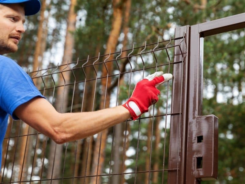
A fence project is one of the most common reasons homeowners start asking about property lines. Nobody wants to finish building a fence and then find out part of it sits on a neighbor’s land. The same goes for patios, pools, sheds, and driveway expansions, all projects where being off by a few feet can create a real problem after the work is already done.
When a homeowner decides to improve their yard in a meaningful way, knowing exactly where the lot ends becomes practical, not optional. Guessing based on an old survey stake that may have moved, or assuming the edge of the grass matches the legal boundary, works fine until it doesn’t. Catching the discrepancy before pouring concrete or setting posts is a lot less stressful than dealing with it after.
Growth in a neighborhood tends to push more of these projects forward at the same time, which is part of why boundary questions come up more often when surrounding development is active.
More Nearby Construction Means More Attention on Shared Property Features
When the house next door gets a renovation, or a new structure goes up on an adjacent lot, features that sat quietly for years suddenly get a second look. A retaining wall along the back of a yard, a strip of concrete that two properties seem to share, a row of shrubs planted along what both sides assumed was the line, all of these become more relevant when active construction is happening close by.
Homeowners don’t always bring this up because of a conflict. Sometimes it’s just curiosity prompted by activity nearby. If a neighbor is having work done and the crew is working close to the shared edge, it’s natural to start wondering exactly where that edge sits. Getting a clear answer before things get complicated is a reasonable way to handle it.
Shared features near lot lines tend to go unquestioned for years in stable neighborhoods. When things start changing around them, the questions follow.
Property Records and Existing Occupation May Not Always Tell the Same Story
The way a yard gets used over time doesn’t always match what the recorded documents say. A homeowner might mow up to a certain point for fifteen years without realizing the actual boundary sits a few feet in either direction. Neighbors might share an assumption about where the line is, and both be working from the same informal understanding that nobody ever checked against official records.
This kind of thing is common and doesn’t usually cause problems until something changes. A new owner moves in next door and has different ideas. A renovation project gets close to the assumed line. A homeowner wants to put something permanent in that spot and realizes they’re not sure if it’s actually their land. That’s when the gap between how a yard has been used and where the line legally sits becomes worth looking into.
A boundary survey gives owners a documented answer, so decisions about improvements or changes don’t rest on an assumption that was never confirmed in the first place.
Growing Communities Encourage Homeowners to Protect Long-Term Property Value
When home values in a neighborhood go up, owners pay more attention to everything connected to that value. Accurate property information becomes part of that picture. An owner planning to sell in a few years, or thinking about major improvements that will cost real money, has more reason to want clear documentation of what they own and where it sits.
Buyers ask more questions in active markets. Accurate boundary information can make a property easier to sell and reduces the chance of complications coming up late in a transaction. Sellers who already have that documentation tend to move through the process with fewer surprises.
For owners who plan to stay long term, the benefit is confidence. Knowing where the lot lines are means improvements get planned around real information, and there’s no risk of finding out later that something was built in the wrong place.
Frequently Asked Questions
Why do boundary questions become more common as neighborhoods grow?
New construction and lot splits make owners pay closer attention to their own property. When things around a home change, the lines that were easy to ignore before start to feel worth confirming. A boundary survey answers those questions with documented information rather than guesswork.
Do homeowners commonly request boundary surveys before adding outdoor features?
Yes, and the timing makes sense. Projects like fences, sheds, patios and pools involve real money and permanent changes to the yard. A few things that commonly prompt owners to check their lines before starting include:
- Fence installation along a side or rear yard
- Pool or patio work near the edge of the property
- Shed placement in a corner or back section of the lot
- Driveway widening that runs toward a neighboring parcel
Getting the information before the work starts is less complicated than addressing a problem after the fact.
Why might long-standing yard use differ from recorded boundaries?
Assumptions made informally over years don’t always match what’s in the official records. An owner mowing to the same point for a decade, or a fence installed without a survey, can create a picture of the boundary that feels settled but hasn’t been confirmed. When something prompts a closer look, the recorded line and the used line don’t always match up.
Can nearby improvements affect interest in boundary information?
They can, and it’s usually not because of a conflict. When a neighbor renovates or a new structure goes up close by, features near the shared edge get more attention than they did before. Owners who were comfortable with an informal understanding of the line start wondering if that understanding is accurate, and a boundary survey gives them a reliable answer.
How can a boundary survey support future property plans?
Accurate boundary information makes planning easier and more reliable. Owners who know exactly where their lot sits can design improvements with confidence, avoid placing structures in the wrong location, and provide clear documentation if questions come up during a future sale. That kind of clarity is worth having before decisions get made, not after.