
Topographic Survey Needs Before Building a Retaining Wall
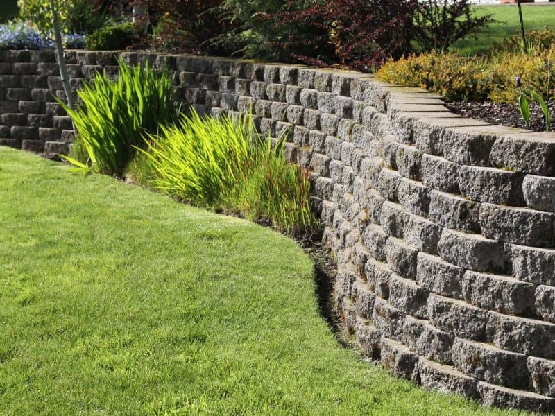
Water and bad grades bring down more retaining walls than weak block ever will. A wall designed from guessed elevations can end up too short, too tall, or aimed straight at the neighbor’s yard. Fixing it later means tearing out stone, backfill, and drainage. A topographic survey gives the designer real ground elevations before the first block is ordered.
Start with the survey, then the design, then the permit. Many jurisdictions regulate walls above a certain height, and the engineer needs accurate data to meet those rules. Doing it in that order saves money and arguments.
Why Retaining Wall Projects Require Accurate Topographic Survey Data
Retaining walls hold back soil, and the height of that soil sets the loads the wall has to resist. A one-foot error in grade can change the wall height, the footing size, and the amount of reinforcement needed. Design from accurate data, and the wall fits the site the first time.
Height also drives approvals. Many cities require engineered design and a permit for walls above a certain height, and the measurement point can vary by code. Accurate elevations tell you early whether your wall crosses that line.
Soil matters too. Clay soils that swell and shrink with moisture put extra pressure on walls. The engineer weighs that alongside the survey data, so share any soil report you already have.
Measuring Existing Slopes and Elevation Changes Along the Proposed Wall
The surveyor collects elevations along the wall route and across the slopes above and below it. Point spacing gets tighter where the ground changes quickly. A topographic survey for a wall project typically includes:
- Spot elevations along the proposed wall line
- The top and toe of existing slopes
- Contours that show how the ground rises and falls
- Elevations at nearby buildings, patios, and driveways
- Ground levels along property lines and fences
Ask the surveyor to extend coverage a reasonable distance past each end of the wall. Grade changes beyond the wall affect how it ties in and where water goes. A wall that ends abruptly into a slope is a common weak spot.
Mapping Drainage Patterns and Nearby Features That Affect Wall Placement
Water is the biggest threat to most retaining walls. A topographic survey shows where runoff comes from, where it collects, and where it leaves the property. Low spots behind a planned wall are a warning sign, since trapped water builds pressure against it.
Nearby features shape placement too. The survey can locate trees, utility lines, inlets, fences, and structures close to the wall line. Footings and drain pipes need room, and digging near tree roots or a buried line can cause real trouble.
Property lines and easements count as well. A wall built over the line or inside a drainage easement can lead to removal or a dispute. Pair the elevation work with boundary data before you finalize the location.
Using Survey Elevations to Support Retaining Wall Design and Grading
Designers use the survey to set top-of-wall and bottom-of-wall elevations along the full length. Those numbers determine wall height, step locations, and footing depth. They also show how much soil needs to be cut or filled.
Grading plans come from the same data. The designer can direct water away from the wall, add swales, and plan drain outlets that discharge where they should. A topographic survey gives those slopes real numbers to work from.
Don’t let the wall push water onto a neighbor. Redirecting runoff onto adjoining land can create legal and practical problems. Review the drainage plan with your engineer and check local rules before construction.
Verifying Wall Alignment and Finished Grades During Construction
Surveyors can stake the wall line and key elevations before excavation starts. Builders use those marks to set the footing at the right depth and keep the wall on line. Offset stakes stay safe while machines dig.
Checks during construction catch errors before they’re buried. A wall that’s off by a few inches at the footing only gets worse as courses go up. Thirty minutes with a level can save days of rework. Useful check points include these:
- Footing location and elevation before the first course
- Wall alignment after the first few courses
- Drain pipe slope and outlet location before backfill
- Top-of-wall and finished grade elevations at completion
Some jurisdictions or engineers require as-built information or inspections for permitted walls. Requirements vary by municipality and wall height, so confirm them before work begins. Schedule survey visits early if inspections or a closing depend on them.
Frequently Asked Questions
Do I need a topographic survey before building a retaining wall?
For most walls taller than a few courses, surveyed elevation data is the safest starting point. It shows the real slopes, drainage paths, and nearby features the design must handle. Permitted walls often require engineered plans, and engineers usually need surveyed elevations to prepare them. Check local requirements before you order block or hire a crew.
What elevation measurements are needed for retaining wall design?
Designers typically need spot elevations along the wall line, the top and toe of existing slopes, and contours across the area. Elevations at nearby buildings, driveways, and property lines help with tie-ins. Drainage points like low spots and inlets matter too. Your engineer can tell you the exact spacing and coverage needed.
Can a topographic survey identify drainage concerns near a retaining wall?
Yes, the survey shows where water flows, collects, and leaves the site. Low areas behind a planned wall are easy to spot on the contours. Those findings help the designer add drains, swales, or outlets. Catching drainage issues before construction costs far less than fixing a failing wall.
Does a retaining wall require both a boundary survey and a topographic survey?
Many projects benefit from both, especially when the wall sits near a property line. The boundary survey shows where your land ends, and the topographic survey shows the ground shape and drainage. Surveyors can often combine them into one drawing. Cities, engineers, or lenders may require one or both based on the project.
When should a surveyor check retaining wall elevations during construction?
Common checks happen before excavation, after the footing is set, and before backfill and final grading. A final check confirms top-of-wall and finished grade elevations. Taller or permitted walls may need more frequent checks. Ask your engineer which points need verification so visits fit the build schedule.